Part
Four -
The Conclusion of the
2009 Beach Walk
Our long
beach walk was definitely tiring.
We worked up quite an appetite. Having finished about two-thirds of our journey,
the
Dirty Dozen was more than ready to have lunch at the
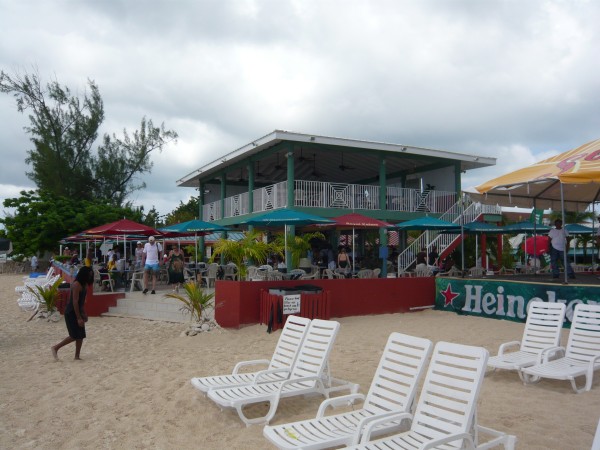
Royal Palms, a popular
outdoor restaurant that does a thriving business
with the cruise crowd.
The
Royal Palms is located about two miles from
the ship. Many people from the cruise ship
taxi over to the Royal Palms, but not
us. I imagine we were the only ones from our
cruise ship to taxi PAST the Royal Palms
and walk back to get our lunch.
Once we
reached the Royal Palms, I started to
relax a little. The Royal Palms had
marked the start of my solo journey the year before.
Back in 2008, I had covered this
distance in an hour. This year I remember
having a good two and a half hours remaining to get
back to the ship.
As a
result, we took our time eating lunch and were able
to complete our journey without feeling the sense of
urgency that had terrified me the year before.
|
 |
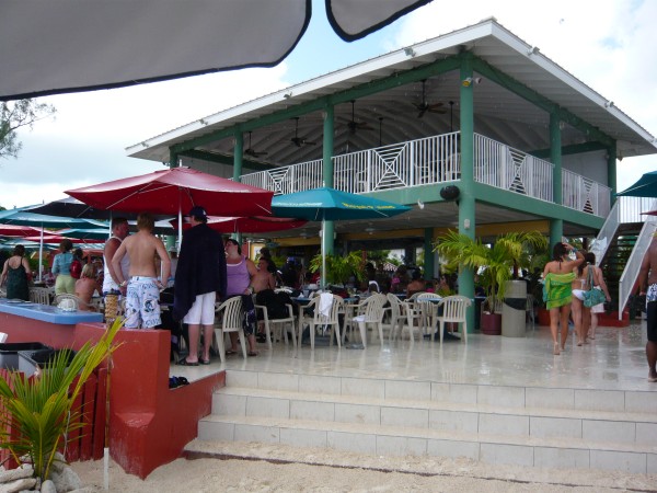
As you can see, the Royal Palms
does a thriving business.
Sad to say, four members of our group decided to call it a day here.
Our group was down to eight.
|
Here Sam and
Marla prepare to leave together. Thanks to his white hat, white
shirt, and height, Sam was a welcome landmark all day long whenever I
lost sight of the group.
|
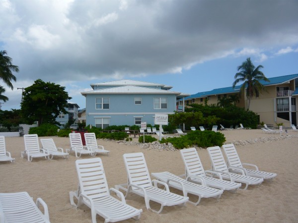
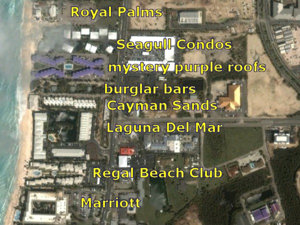
Seagull Condominiums 1
|
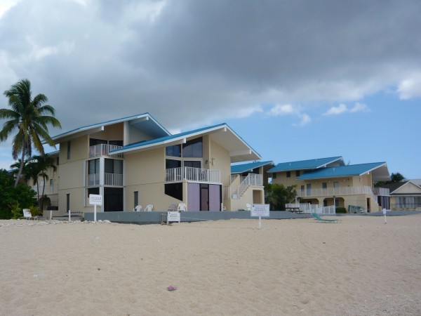
Seagull
Condominiums 2
|

Seagull Condominiums 3.
Those Seagulls sure own a lot of property
but even they don't come to visit.
|
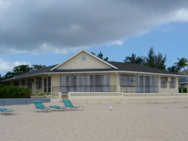
Private
property. I found those burglar bars to be very disconcerting.
This place was so yuck, I couldn't imagine anyone bothering to rob it.
|

On the beach, our group began to pass an
entire series of private residences that
didn't seem all that valuable. Little did we know that much of the
expensive real estate was hidden just beyond our sight. They were
built on those 'watery tongues' I talked about. |
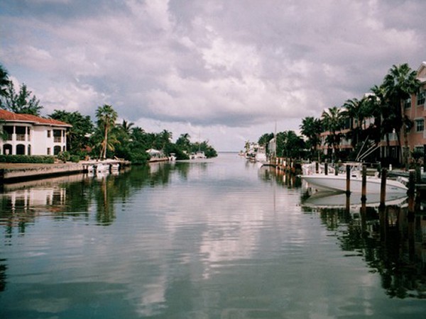
Except
that in the Caymans, those 'tongues' are called 'canals'.
Duh. Of course. Why didn't I think of that name?
These canals are located right behind Seven Mile Beach.
They empty into the North Sound. This place is a little Venice.
|
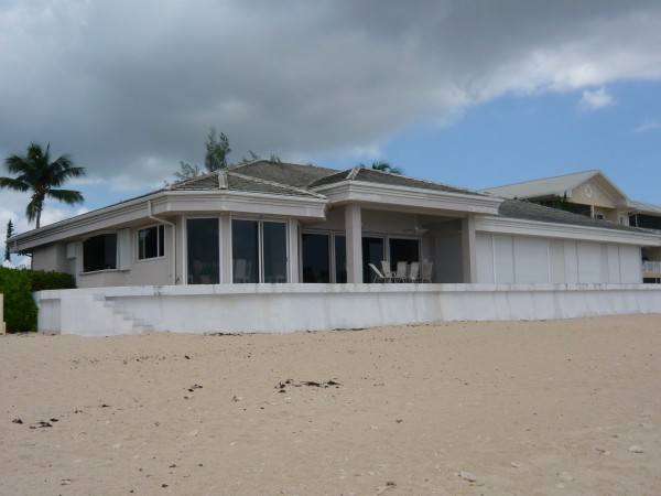
Like many places in this
stretch, this condo was devoid of foliage out
in front. No name, but it might have been the Cayman Sands.
|
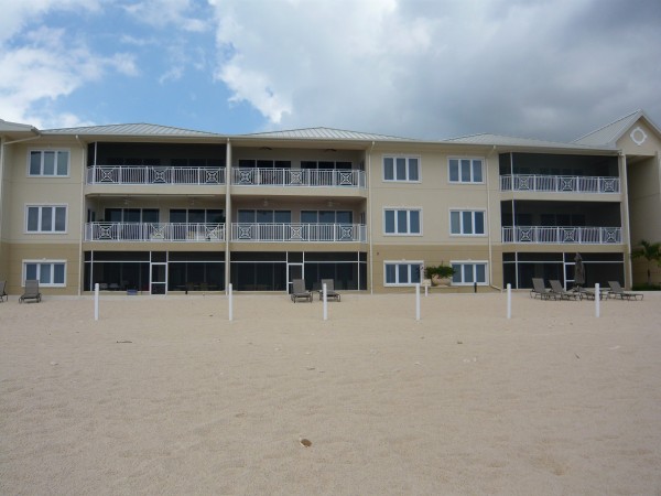
I believe
this is the Laguna Del Mar. It is very plain on the outside,
but
I read that it has a completely enclosed lagoon right behind it. |
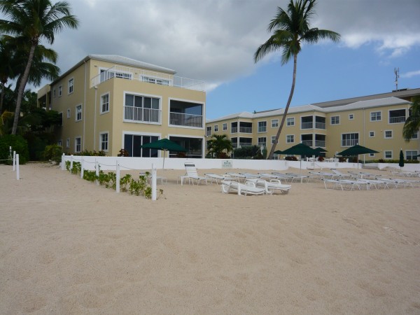
Regal Beach Club.
|
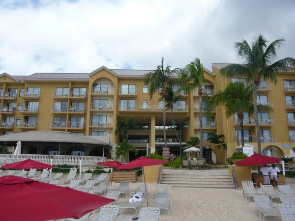
The Marriott.
It was attractive, but lacked the splendor of
the Ritz-Carlton and the Westin
|
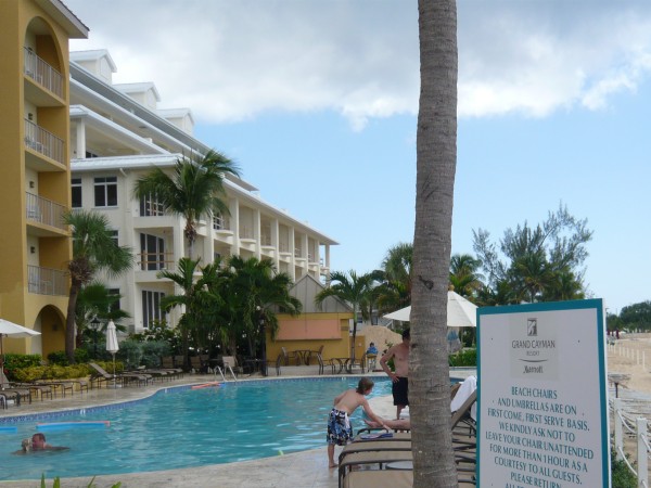
If you look closely at the
sign, you will see 'Marriott'
|
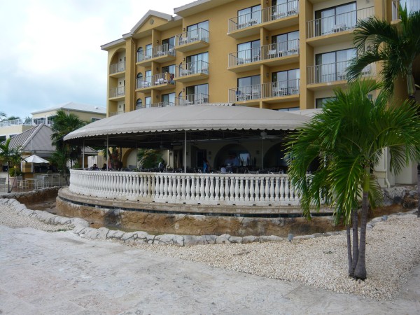
The Marriott
featured a lovely outdoor restaurant.
|
You can see the "Lagoon" behind
Laguna del mar.
|
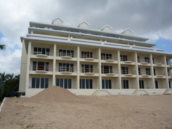
A work in
progress next to the Marriott. When I was here a year ago
this place was had just begun construction. I would have thought it
would
be completed by now. Comfort Inn Suites?
|
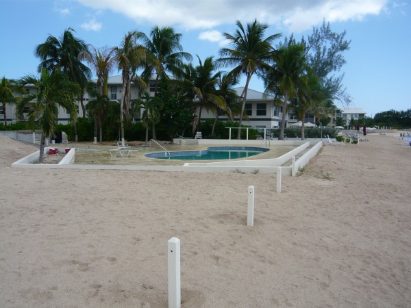
Tamarind Bay
|
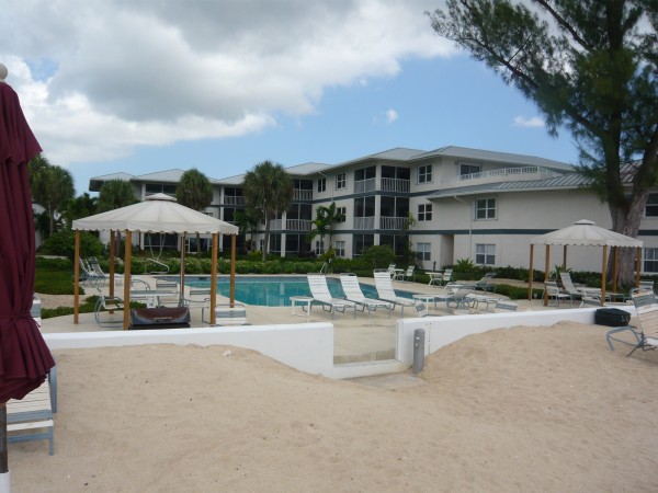
Tamarind Bay
|
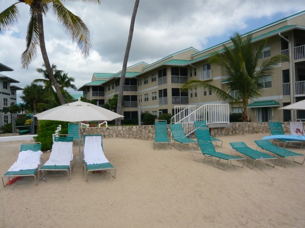
Turtle Beach Villas (?) |
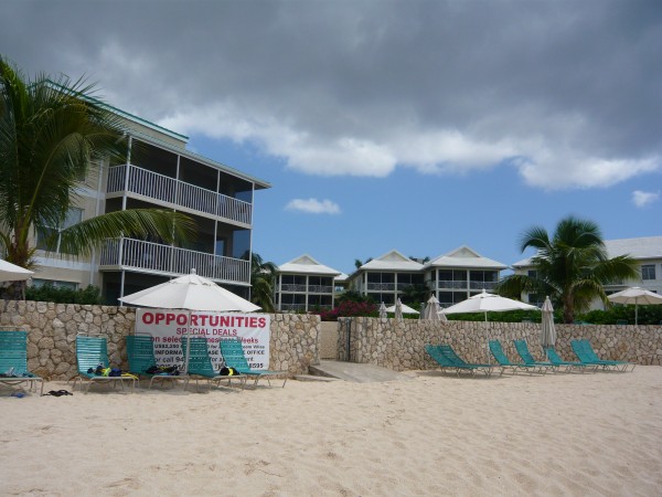
Plantation Village was the only condo to advertise I saw all day. Tacky.
|
|
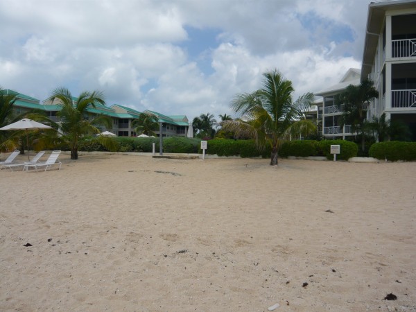
Crescent Point |
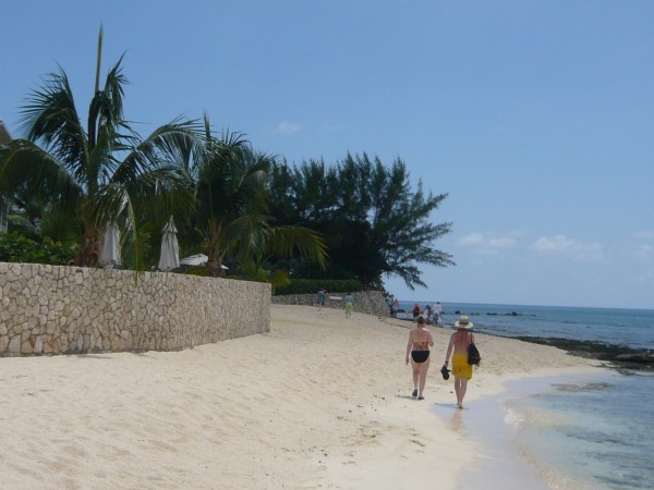
This is a picture of Peggy and Kevin approaching the
mysterious "Beach Hog" property
|
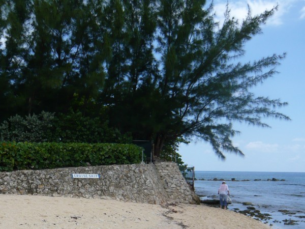
This mysterious property comes
so close to the water's edge that there is only about 5 feet of
separation between the wall and the sea.
|
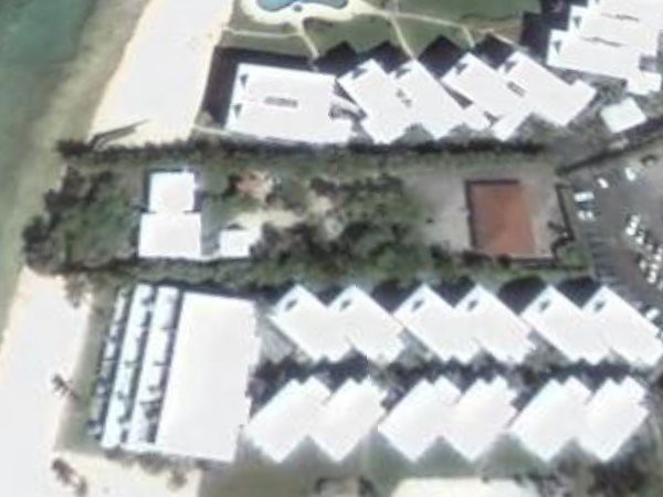
I took this
Google Earth snapshot of the mysterious property back
in 2008. Unfortunately there was a cloud cover when I went
back to take another look via Google Earth this year.
|
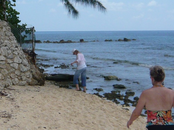
Here Wendy is stepping
carefully. Not much crawl space!
This place is surrounded by thick stone walls on either side.
The narrow walkway btw the estate and the sea is
protected by a chain link fence and thick foliage.
|
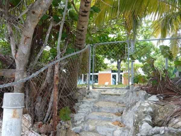
Despite my
intense curiosity about this place, I didn't learn much.
I took a picture of a small gap in the foliage. No people.
This place clearly values its privacy. I don't know whether it is
a nudist colony or a religious retreat or what, but I want to know! |
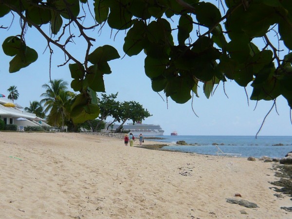
The mysterious Beach Hog property had cut off our view of the ship.
We were all quite relieved to see it reappear on the other side.
|
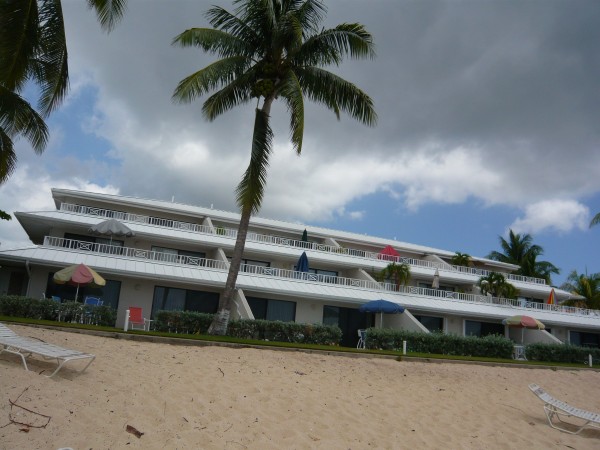
I have no
idea what the name is. |

Treasure Island
|
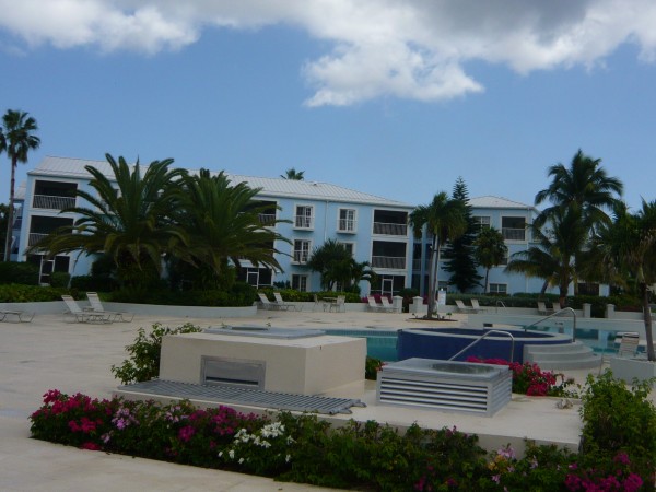
The Grandview
Condominiums
|

As you can see, the mysterious
Beach Hog property is shrouded by a cloud cover. Considering the
lengths this place goes to hide its activities, maybe they paid Google
Earth to add this cloud.
|
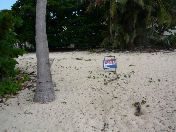
Not much to
see in the next property lot |
|
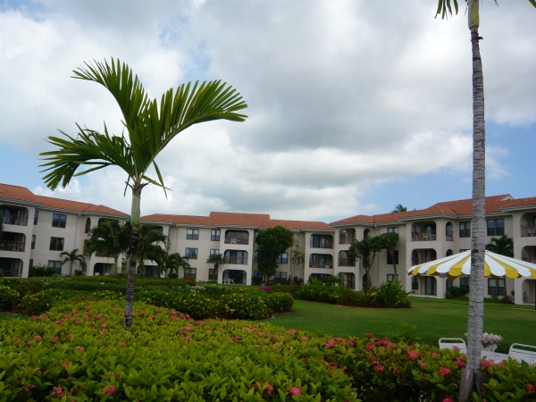
I looked everywhere for a name
but came up empty.
It might be the Georgetown Villas. Whatever its name,
I thought this was one of the best landscaped condos.
|
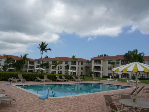
This was the
last of the attractive condominiums. I knew from memory that there
wasn't much left to see. We were approaching the end.
|
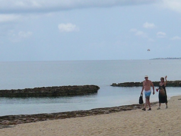
For a change, I was out in
front of the group.
We are on the home stretch now. |
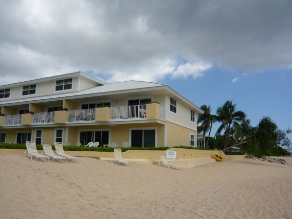
Grape Tree
Villas
Don't any of these condos have any guests at all? |
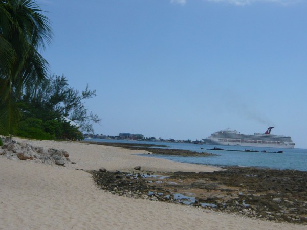
The Conquest didn't seem quite so far away any more.
Several times I idly wondered if I could swim that far.
|

Coco Plum
Villas |

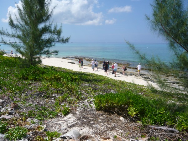
The once lovely beach had
disappeared. There were now more rocks
than sand. Plus there was a lot of ugly black lava rock
|
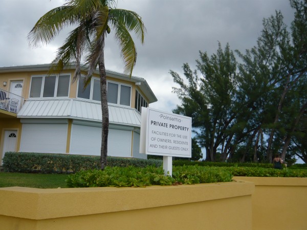
Poinsettia |
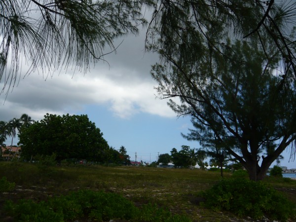
Next we were faced with a large undeveloped field to our left.
However there was beach left, so we didn't bother to enter this area.
|
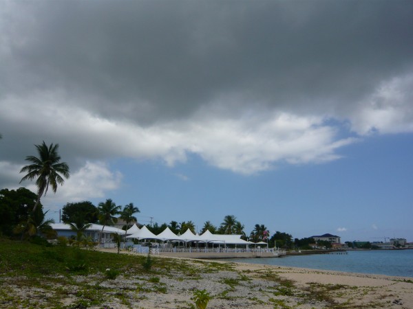
The end of
the Beach Walk was this lovely pavilion up ahead
known as The Wharf |
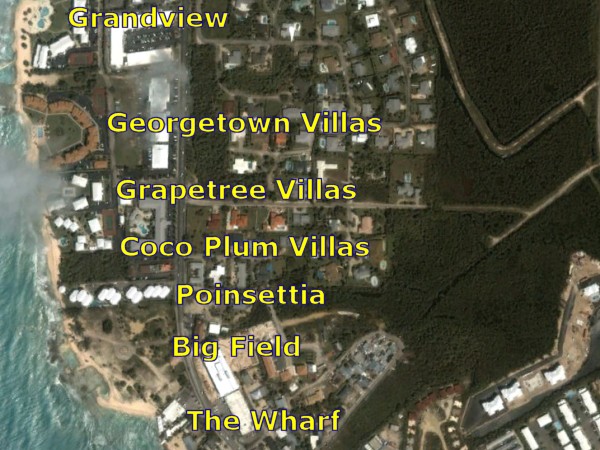
The Wharf was the final point of our
Beach Walk.
|
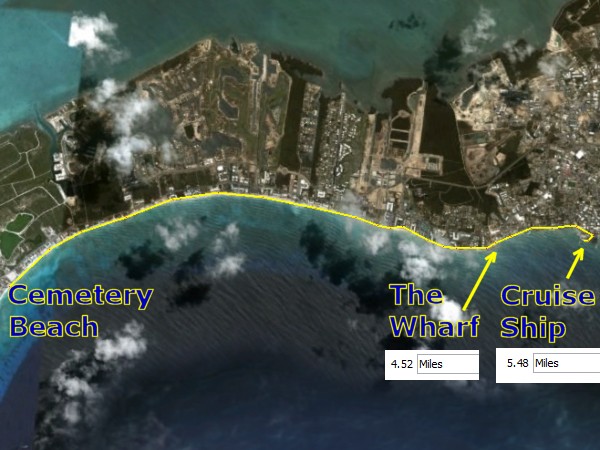
The beach
walk part of our trip covered five and a half miles. |
|

The Wharf marked
the end of the Fourth and final leg of our Beach walk.
However, we weren't done yet. Now we had to walk the city
sidewalks of Georgetown to get back to our ship. One more mile to
go.
|
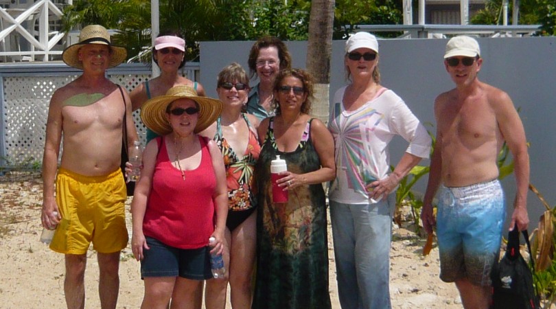
As you can see, our Dirty Dozen
dwindled to eight survivors. Hats off to our troopers!
They were bedraggled, but happy. Well, kind of happy. Some
of those people were too tired to offer much of a smile. Let's
face it, we were really pooped!
|
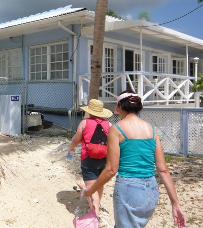
At the Wharf the year before, I
had walked across the building. This year we discovered
a much easier route to the street.
|
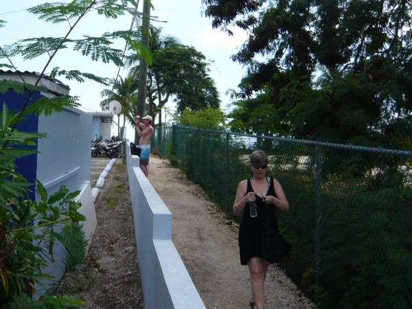
Peggy and Sam take the secret
passage to the street.
|
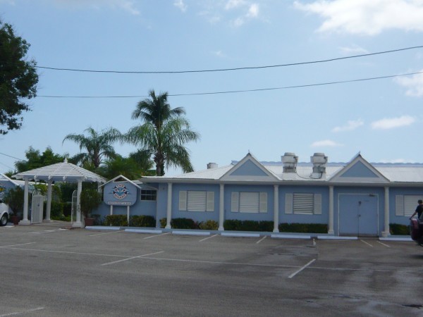
The front
side of The Wharf
|
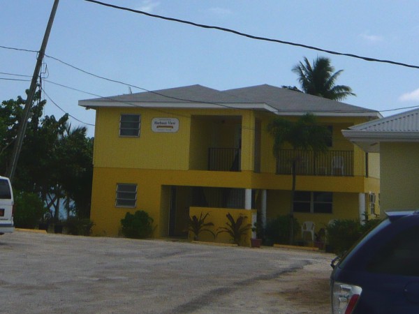
Back in 2008, I had crossed
behind the Wharf and this Harbor View condo as well. Last year after I
walked pass the Harbor View,
there was no beach left. |
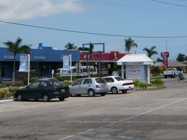
The first landmark after
The Wharf and Harbor
View is
Kentucky Fried Chicken. Turn right and head to the ship.
|

As we walked the sidewalk along
West Bay Road, we immediately passed a cemetery on the right
|
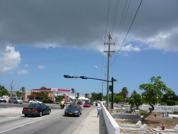
Next we came
to an Esso Station on the corner of Eastern Avenue and West Bay Road.
Stay to the right
|
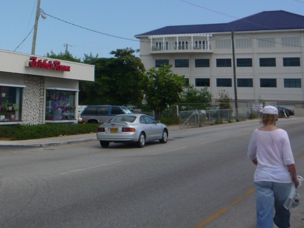
Trisha's Rose Shop is
conveniently located near the cemetery
|
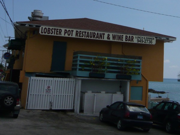
Who could
resist a place as attractive as this?
|
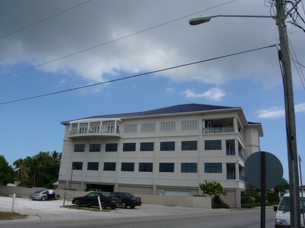
A lovely magenta-roofed
professional building on our left
|
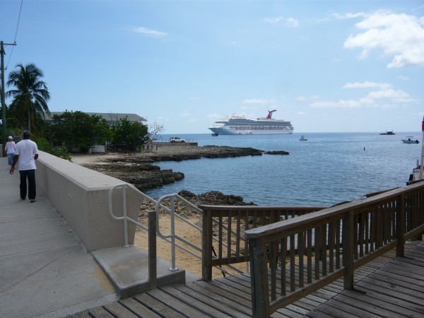
It was very
comforting to see our massive ship looming in the distance.
Seeing the ship meant two important things -
we weren't lost and the ship had not left yet. |
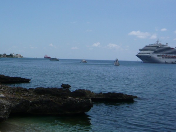
Here is a picture of a tender
boat shuffling passengers back to the Conquest. The ship is simply
too big to anchor next to the pier, so smaller boats serve as ferries
for the passengers to and from.
|
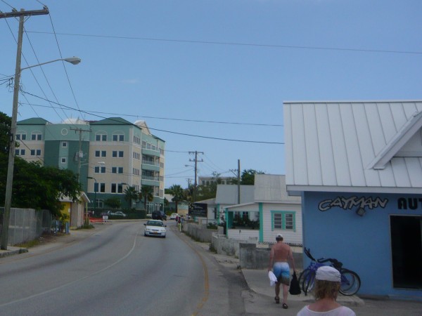
As usual, I
am pulling up the rear taking pictures. The teal Strathvale
House up ahead is a handy landmark.
Sam and Wendy were nice enough to walk slowly so I wouldn't be
completely alone. I suspect Marla told them to keep an eye on me. |

That is the Strathvale House on
the left.
Further up ahead is a shiny blue building known as The Harbour Centre,
another useful landmark
|

The Harbour Centre should be
your main landmark
You can see it from a long way away and it is close to the end point
|
|
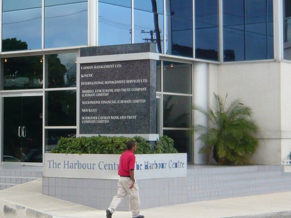
Harbour
Centre will be on your left
|
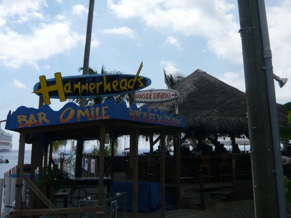
Hammerhead's Bar will be on
your right
|
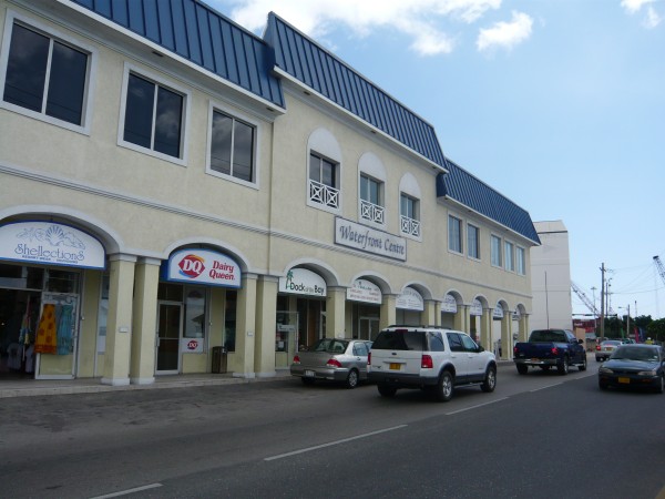
Waterfront Centre will
be on your left
|
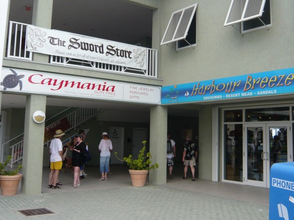
Shopping
area on your right. That opening leads to the Cruise Terminal |
 |
The Fifth and final leg added one more mile to our lengthy trip.
Using Google Earth as my guide and marking Cemetery Beach
as our starting point, I am fairly certain our Beach Walk was 4.5
miles long. Adding the city walk, our overall trek was 5.5
miles.
If we add the extra Road to Hell as a future starting point, it
would stretch our entire walk to six miles total. One thing to
keep in mind is that five miles in the beach sand is a much tougher
walk than on a flat surface. Don't forget to add in the sun
and the heat.
My
conclusion is that
Seven Mile Beach is a serious walk and definitely
not one for sissies. If you walk the full length, consider
yourself to be a conditioned athlete.
In the
future I would suggest to look for a nearby
convenience store in the morning near the cruise terminal.
Take a backpack and stock
up on drinks and munchies. That would allow you to bypass any
food service on the beach that you consider excessively expensive or
crowded (who wants to wait?)
I remember
feeling quite overcharged by the taxi. I would wait for a
public bus instead. You might save up to
$8. Any money saved could then be reinvested in a relaxing
dinner at one of the attractive upscale beach-side restaurants such as the
Beach Suites. The Beach Suites
actually came before the tourist trap Royal Palms
which would put it
closer to lunch time.
Unfortunately, I have no feel for the overall amount of time.
I can only say that if you are on a cruise ship's allotment of time,
you should have enough time to get it done. We made it back
with time to spare, so you should too.
The final question is this:
Would I do it again? Absolutely.
I have
taken the walk twice and can't wait to do it again over Labor Day in
2011. This is not
only one of the most beautiful beaches in the entire Caribbean,
Seven Mile is clean, safe, and easily accessible.
There are
few more iconic things about a cruise trip than taking a long walk
on the beach. The exercise is good for you and there is so
much to see! Best of all, it's completely free.
Whether
your walk is a romantic stroll with your lover or an adventure with
a group of friends, it is pretty hard to beat the satisfaction that
comes from a day well spent in such a beautiful setting as Seven
Mile Beach.
|
|
|